The Route Explained — Mile by Mile
A detailed breakdown of the full 22-kilometer Athlone to Ballinasloe greenway. Learn where to rest, where water's available, and what makes each section worth exploring. You don't have to do the whole thing in one ride.

Getting Familiar with the Full Route
The greenway isn't a race. That's the thing we hear most from riders who've completed sections of it. You've got 22 kilometers to explore, and we're going to walk you through every kilometer so you know what to expect before you pedal out.
Whether you're thinking about doing the whole route in one afternoon or breaking it into bite-sized chunks over several weekends, knowing the terrain, where facilities are, and what historical bits you'll pass makes the ride so much better. Plus, it helps you plan your pace and know where to catch your breath.
Kilometers 0-5: Athlone Start and the Historic Begin
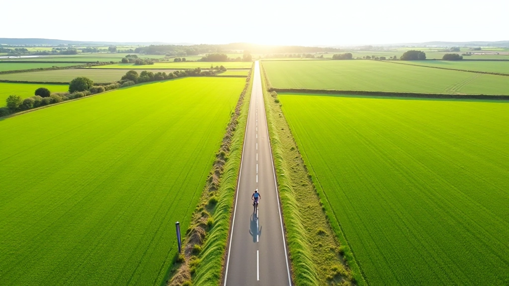
You'll start from the Athlone greenway access point — there's parking here and a small shelter if you need to prepare. The first 5 kilometers are the easiest part of the entire route. It's genuinely flat, the surface is smooth tarmac, and you're moving through town surroundings before the landscape opens up.
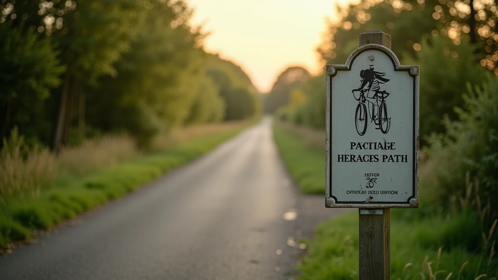
The old railway line is obvious here. You'll see heritage markers along the way explaining the history of the line — it originally connected Athlone to Dublin back in the day. Around kilometer 2, there's a proper water stop with a picnic area. We'd suggest stopping for a few minutes even if you don't need water. Your legs will thank you later.
This section takes about 25-30 minutes at a comfortable pace. Not rushed, not leisurely — just steady. The path widens here too, so there's plenty of room if you're riding with someone.
Kilometers 5-14: The Middle Run and Where Views Open
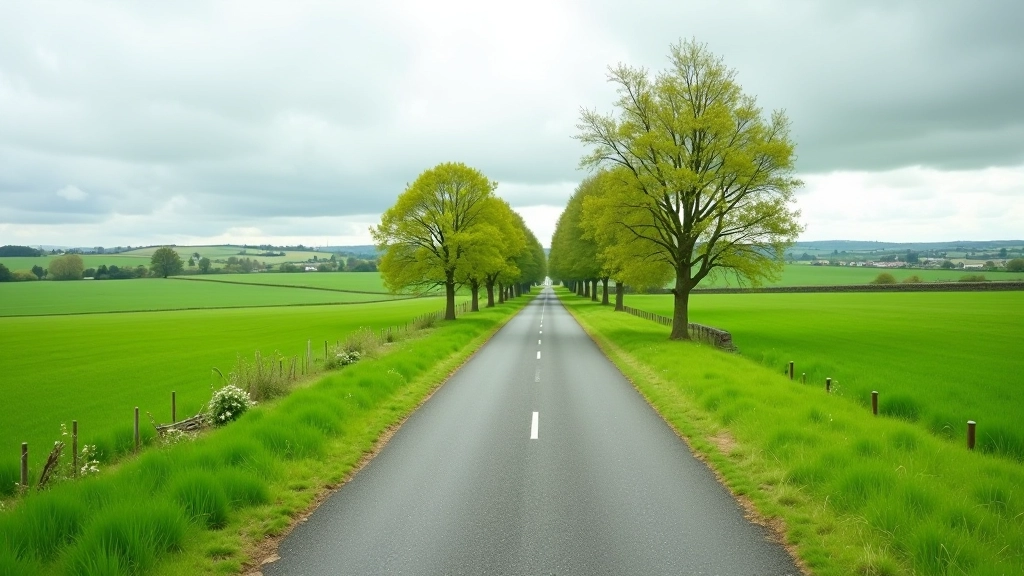
This is the heart of the route. You're properly into countryside now, and the path still sits right on the original railway bed. The terrain doesn't change much — it's still flat, still smooth — but the landscape does. Fields stretch out on both sides, and on clear days you can see for kilometers.
Around kilometer 8, there's another proper facility stop with benches and water. Some riders we've spoken to say this is the perfect halfway point if you're doing a partial route. It's roughly 35-40 minutes from the start, so you're getting some real distance under your belt without being exhausted.
The path narrows slightly between kilometers 10 and 12 — nothing dramatic, but just be aware if you're riding with a partner. You might need to go single-file for a short stretch. By kilometer 13, you'll see old railway infrastructure — bridges, embankments, things that remind you this was a working line decades ago. It's genuinely interesting if you take a moment to look.
Key Stops and Facilities Along the Route
Kilometer 2 — First Water Stop
Sheltered picnic area with water fountain and benches. Good spot to stretch your legs and get acclimated. Takes about 30 minutes to reach from start.
Kilometer 8 — Midway Facility
Full stop with water, waste facilities, and proper seating. This is a logical halfway point if you're breaking the route into two sessions.
Kilometer 15 — Heritage Information Point
Educational signage about the railway history and local heritage. Water available. Popular photo spot with good views across the countryside.
Kilometer 22 — Ballinasloe End Point
Proper end-of-route facility with parking, water, and a covered waiting area. Where most riders end their journey or rest before heading back.
Kilometers 14-22: The Final Push to Ballinasloe
The last stretch is still flat, still rideable, but here's what changes: you know you're close to finishing. That matters psychologically. Your legs might feel like they've done the work, but the mental push is often bigger than the physical one at this point.
Around kilometer 15, there's a heritage information point that's worth stopping at. It's got water, and the signage explains what you're looking at in the landscape. Take five minutes. You've earned it, and it genuinely adds to the experience knowing the history of what you're riding through.
The final kilometers are straightforward. The path widens again as you approach Ballinasloe, and you'll see the end point facility from about kilometer 20 onward. There's no dramatic hill or sudden challenge — just a steady, manageable finish. Most riders we've spoken to say the last 30 minutes feel easier than the middle sections because you can see where you're going and you know it's close.
Planning Your Ride: Timing and Pacing
Don't feel obligated to do the full 22 kilometers in one go. That's not how this works. Most riders we speak with do it in sections, and that's completely fine. You might do kilometers 0-8 one weekend and 14-22 another time. Or you might do the whole thing but take it really slowly with multiple stops.
Here's rough timing at a comfortable pace (12-14 km/h, which is realistic for riders who aren't rushing):
- 0-5 km: 25-30 minutes
- 5-14 km: 50-60 minutes
- 14-22 km: 50-60 minutes
- Total ride time: 2-2.5 hours (not including stops)
If you stop at each facility for 10 minutes, add another 30-40 minutes to your total. That's why knowing where the facilities are matters. You can plan a ride that works with your energy levels and your schedule.
Route Information Disclaimer
The information provided here is intended as a general guide to the Athlone to Ballinasloe greenway. Conditions, facilities, and access points can change. We recommend checking with local cycling authorities and greenway management for current conditions before heading out. Always ride at your own pace, bring water, wear appropriate safety gear, and let someone know your planned route. If you have any health concerns, consult your doctor before undertaking any cycling activity.
Ready to Ride?
The greenway's there waiting for you. It doesn't matter if you're doing 5 kilometers or 22. Every section is worth exploring, and you'll find something interesting at each stop — whether it's a view, some history, or just the satisfaction of pedaling somewhere new.
Start with whatever distance feels manageable. Build from there if you want to. Most importantly, enjoy the ride. That's what this is all about.
More Greenway Guides